Hector Henry Greenway - Mills at Rocky River Segment

This 2.7 mile natural surface trail provides pedestrians and mountain bikers a scenic view along the Rocky River in Cabarrus County.
Trail Uses
Walking / hiking / running Mountain biking
Location
Concord (NC)
Length
2.70 miles, One Way
Difficulty
Easy
Surface
Gravel/Crushed stone, Natural surface, Boardwalk
Motorized Vehicles
Not Permitted
Fees
No
Pets
Permitted on leash
Parking Spaces
16
Restrooms
Yes
Hours
dawn to dusk

Description

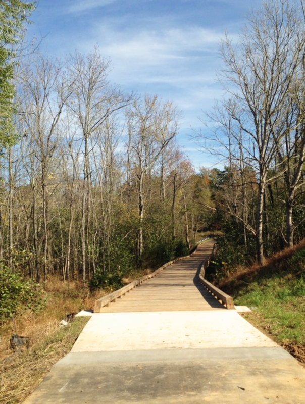
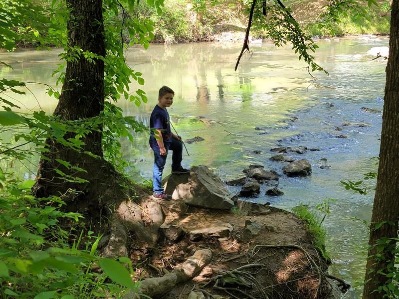
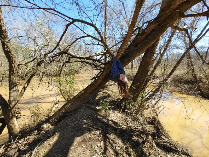
The trail meanders along the Rocky River, 2.6 miles from Rocky River Road to the confluence with Reedy Creek. One section of the trail is moderately difficult. Otherwise, the trail is easy.

Other Information

The trail features 911 markers that are GPS'd for emergency response by the City of Concord. There are a total of 42 markers. There are also markings at every half mile posted below one of those signs. Users must stay on the trail. The City only maintains a trail easement over the existing trail, and anything outside the easement is controlled by the underlying property owner(s). The trail is natural surface. Use caution when the trail is too wet, and be aware of roots, rocks and potential trip hazards.

Trail Manager

For information, call Parks and Recreation at 704-920-5600.

City of Concord
Deputy Director
PO Box 308
Concord, NC 28026
704-920-5600
recreation@concordnc.gov
View website

Featured Post

Falcon Trail Takes Flight in Stanly County
Expanding the Carolina Thread Trail in rural communities takes a different approach than in urban centers. Even though the Village of Misenheimer is tiny (only 650 residents as of the last census), they have an outsized commitment to building the Thread Trail.
> Read Post

Trail Tips

Layer Up
When out on trail in cooler weather, wear layers which are easy to add/remove so that you can maintain a comfortable temperature.
Legend
Hide All

Trailhead Information

1095 Drake Mill Lane, Concord, NC

Click on an icon to get custom directions
Please Log In or Create Account to add comments.
britskee
March 04, 2024
Use caution on this trail. It is gorgeous, but lots of roots and rocks. Very slippery for a few days after rain. For an easier walk, stay low at the fork. Enjoy the new overlook on the lower portion, about .6 miles in from the parking area.
Hang Tight!
Nearby services are loading
SHARE THIS TRAIL
PRINT THIS TRAIL

Add Trail Log

Please wait…
Join In on the Fun!
Log in or create an account below to unlock all the great features of Carolina Thread Trails: keep track of trails you want to do, preserve memories of trails you’ve done, and more!
Your log in attempt was not successful. Please try again.
    Lost your password? Reset your password
    Don't yet have an account?
    There was an issue with your submission. Please try again.
      * Indicates required field
      Already have an account? Login here
      Enter your username, and we will send you a new, randomly generated password to your email account.
      There was an issue with your submission. Please try again.

        Success! A new password has been emailed to you.

        Log in now

        Please wait…