Trails on Catawba Lands Conservancy Preserves temporarily closed.Due to storm impacts from Hurricane Helene, all segments of Thread Trail located on Catawba Lands Conservancy preserves are temporarily closed. Our team is working to assess damage and reopen trails as soon as possible.

South Fork Catawba River Blueway - Lincolnton Section

The South Fork Catawba River Blueway - Lincolnton starts from the tributary of Clark Creek at the Ramsour Mill Trail then travels south to the Betty Ross Park.
Trail Uses
Paddling
Locations
Lincoln County (NC), Lincolnton (NC)
Length
2.00 miles, One Way
Difficulty
Moderate
Surface
Other
Motorized Vehicles
Not Permitted
Fees
No
Pets
Unknown
Restrooms
Unknown

Description

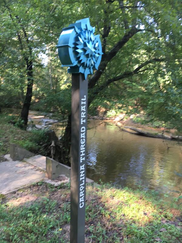
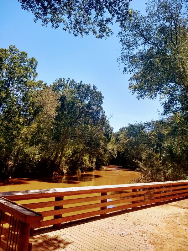
The South Fork Catawba River - Lincolnton section begins at the Ramsour's Mill Trail which is on Clark Creek.  Clark Creek connects to the South Fork Catawba River then travels down to the Betty Ross Park launch at approximately 2-miles. Please be respectful of adjoining private property along the river and limit use to public launches. 

Other Information

CAUTION - WATER LEVELS

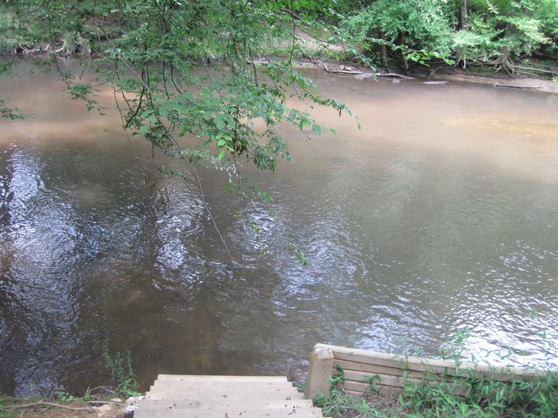
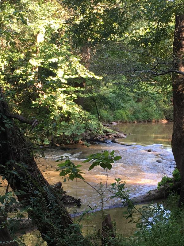
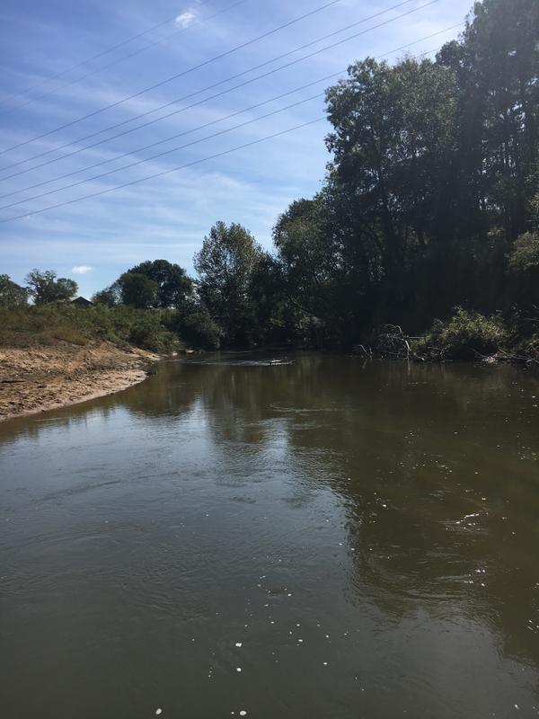
The South Fork River is a narrow, free-flowing river so water levels throughout the year are highly variable due to local rainfall as well as rainfall upstream. Check the water levels before heading out to the river, and be aware that river levels can change quickly over a short period of time. Average flow rates for the South Fork Catawba River in summer are between 400 to 500 CFS (cubic feet per second) and the river is relatively shallow and rocky with no whitewater. However, Class I and II rapids will develop at higher flow rates, and previous experience paddling in whitewater is recommended if you choose to run the river when flow rates are above 1000 CFS. 

Current water levels

Predicted water levels 

Featured Post

Carolina Thread Trail awards $634,000 for trail projects to 7 partners
The Carolina Thread Trail announced its 2023 grant awards to seven partners advancing public trails across the Greater Charlotte region, totaling more than $634,000.
> Read Post

Trail Tips

Avoid the Ivy
Learn to recognize poison ivy, which commonly grows along the edges of trails, fields, and rivers. If contacted, use soap and a washcloth to vigorously wash the oils from your skin.
Legend
Hide All
View Connector Trails
Ramsour's Mill Trail

Trailhead Information

Launch 1: Ramsour's Mill Trail Launch

Address: 402 Jeb Seagle Drive, Lincolnton, NC 28082 MAP

Canoe/Kayak Launch: MAP

Operated by Lincoln County Historical Association


Launch 2: Betty Ross Park Launch

Address: 800 S Madison St., Lincolnton, NC 28092 MAP

Canoe/Kayak Launch: MAP

Operated by Lincolnton Parks and Recreation Department


Click on an icon to get custom directions
Please Log In or Create Account to add comments.
Hang Tight!
Nearby services are loading
SHARE THIS TRAIL
PRINT THIS TRAIL

Add Trail Log

Please wait…
Join In on the Fun!
Log in or create an account below to unlock all the great features of Carolina Thread Trails: keep track of trails you want to do, preserve memories of trails you’ve done, and more!
Your log in attempt was not successful. Please try again.
    Lost your password? Reset your password
    Don't yet have an account?
    There was an issue with your submission. Please try again.
      * Indicates required field
      Already have an account? Login here
      Enter your username, and we will send you a new, randomly generated password to your email account.
      There was an issue with your submission. Please try again.

        Success! A new password has been emailed to you.

        Log in now

        Please wait…